
Covering the entire northern stretch of the North America continent, Canada awes visitors with its beautiful boreal forests, its vast tundra, its snow-capped mountains, and its rocky ocean vistas. Despite that large parts of the country lie north of the Arctic Circle, the country experiences all four seasons and although winters can, indeed, grow frigid, summers in some places routinely climb above 30 degrees Celsius (86 degrees Fahrenheit).
Don’t let the stereotypes fool you. Yes, Canada is cold — but the country is large enough to support several radically different climate zones, each of which offers varying degrees of precipitation and temperature fluctuations. In fact, some parts of the Prairie provinces or the population centers of southern Ontario get downright hot, with not-so-bad winters.
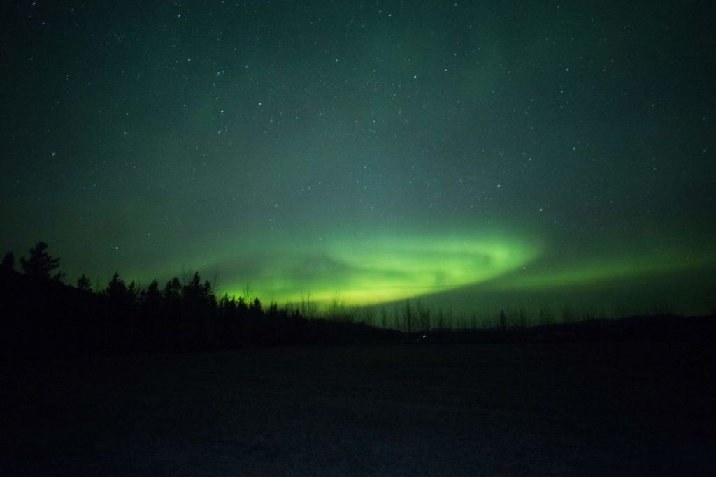
Why is Canada so cold?
Canada experiences a range of climates, but the country’s latitude is an important factor in its average temperature profile. Three provinces include land north of the Arctic Circle. The Jet Stream — a mass of air moving from west to east across the northern hemisphere — dips as far south as the middle of the United States. Occasionally, masses of extreme cold air that normally over the North Pole swing south on account of this air-mass movement.
Climatologists refer to the Polar Easterlies — frigid polar winds moving from east to west — and the Westerlies, which features more temperate air moving in a band from west to east. The Jet Stream, which is a fairly narrow, fast-moving band of air, sits with the Westerlies, but sometimes it wanders far enough north to suck in some of the cold Polar Easterlies air. When it does, in a phenomenon known as a Polar Vortex, extreme cold moves much farther south than it normally would. In a typical Canadian winter, several storms pass that include this arctic air.
Because of its high latitudes, in the winter Canada receives comparatively less sunshine. For example, at 78 degrees North, which is half-way between the Arctic Circle and the North Pole, people living there see 94 days of complete darkness in winter (offset by 126 days of complete sunshine in the summer). In the winter, because the earth tits away from the sun in North America, this lack of solar warmth directly contributes to the winter crispness.
Why is Canada so cold compared to Europe?
Most of Canada lies to the north of continental Europe. Almost all of Canada lies above the 50th parallel, which is roughly on par with London, Paris, Berlin, and Kiev. Most of France and Germany, and all of Spain, Portugal, Italy, Greece, the Balkans, and Hungary, lie south of the southernmost part of Canada.
In addition, the path of the Jet Stream favors Europe more than Canada; over the eastern Atlantic, the Jet Stream curves north, bringing milder weather to the same latitudes in Europe relative to much of North America. For example, even though Montreal is south of London, London experiences a much milder climate on account of the Jet Stream and related patterns of air. This northern “bump” is effected by the Gulf Stream current, which originates in the tropics and pushes up the North American coast, crossing the North Atlantic and ending north of Scotland. This warmer-air mass both diminishes and displaces parts of the arctic-air mass that otherwise influences climate across continental North America.
Is Canada cold all year round?
Summers in some parts of Canada grow exceedingly hot. Of the top 25 hottest days ever recorded in Canada, all of them top 38 degrees C (101 degrees F) with the hottest clocking in at a sweltering 45 degrees C (113 degrees F).
Of course, it gets cold, too — the coldest day recorded, in February 1947, was a chilly minus 63 degrees C (minus 81 degrees F). Of the 30 coldest days on record, all of them dipped below minus 41 degrees C (minus 42 degrees F).
According to Canadian immigration officials, most of the population of Canada lives “in southern Ontario and Quebec, southwest British Columbia and Alberta. Much of the north has a very low population because of the cold climate.” In other words, although many parts of Canada experience warm or even hot summers, almost all of the country enjoys winters with average low temperatures at or below the freezing mark.
How does the cold vary by location in Canada?
Canada consists of five separate climate regions, each of which offers its own unique blend of temperatures, precipitation, and humidity. These regions consist of all 10 provinces and three territories of the country —
- The West Coast: British Columbia
- The North: Nunavut, the Northwest Territories, and Yukon Territory
- The Prairies: Manitoba, Saskatchewan, and Alberta
- Central Canada: Quebec and Ontario
- Atlantic Seaboard: New Brunswick, Newfoundland and Labrador, Nova Scotia, and Prince Edward Island
Climatologists break the entire globe into a series of climate regions. These Knoppen Climate Classification zones represent areas of commonality of temperature, temperature fluctuation, and precipitation. Knoppen maps help people compare different regions without having to assess detailed comparative tables. Zones break into two- or three-letter abbreviations.
Canada supports nearly a dozen Knoppen Climate Classification zones, but more than 90 percent of the country’s landmass breaks into just three zones:
- Tundra (ET): Very short summers with stunted growing seasons.
- Subarctic (Dfc): Subarctic regions offer year-round rainfall with equal seasonal distribution and generally cool summers.
- Humid Continental (Dfb): This zone — which hugs Canada’s southern border from the Rocky Mountains to the Atlantic Ocean — is wet all year, with mild-to-warm summers.
Quick navigation
The West Coast
The prevailing winds off the Pacific Ocean bring warm, humid air to British Columbia. Along the coast, snow is infrequent and the temperatures are generally pleasant. The Rocky Mountains and the Coastal Range serve as a barrier, leaving snowy mountains but otherwise isolating the broad prairie that dominates the interior of southern Canada.
In Vancouver, BC, the average January temperature ranges from 7 degrees C to 2 degrees C (45 degrees F to 36 degrees F). In August, temperatures range from 24 degrees C to 14 degrees C (76 degrees F to 57 degrees F).
The North
Picture Canada like a layer cake. The southernmost layer, the prairie, extends hundreds of miles north from the U.S. border, but it transitions into an immense boreal forest. This forest is typically covered in snow. Summers last for eight to 10 weeks, at most. Go further north, and the treeline ends near the Arctic Circle. At that point, the ground is permafrost — it never melts, and the temperatures climb higher than freezing for just a week or two each year.
Few people live in the North. The capital city of Nunavut (the largest and most northern province) is Iqaluit, with a population in 2016 of just 7, 740 people. Its average February temperatures range from a high of minus 22 degrees C and a low of minus 31 degrees C (minus 8 degrees F and minus 23 degrees F, respectively). Average highs in July reach 12 degrees C (53 degrees F).
The Prairies
Stretching along the southern part of the country between the Rocky Mountains and the Great Lakes, the prairie is where Canada’s breadbasket lies. The winters are typically cold but summers can get quite hot and quite humid. The region is world-famous for the quality and quantity of its grain.
The area’s biggest city, Calgary, AB, averages a high of 23 degrees C (82 degrees F) in July and a low of minus 13 degrees C (9 degrees F) in January. Many of Canada’s extreme high temperatures come from these inland provinces.
Central Canada
The Great Lakes and the Saint Lawrence River mark the true population hub of Canada. Stretching from Windsor in southern Ontario past Quebec City in Quebec, a huge swath of the country lives around Lake Huron, Lake Erie, and Lake Ontario. A line of large cities along the U.S.-Canada border are anchored by Toronto and Montreal. The region makes for excellent farming and fishing. Summers are mild-to-hot and quite humid, while winters are windy and cold and marked by significant snowfalls.
Toronto — the largest city of the region — features January lows of minus 8 degrees C (18 degrees F) and July highs of 28 degrees C (82 degrees F). Toronto is the fourth-largest metro area in all of North America, featuring more than 2.8 million people; only Mexico City, New York City, and Los Angeles are larger. Toronto is just 550 km (340 miles) away from the ninth-largest North American city, Montreal, with 1.7 million people.
The Atlantic Seaboard

Eager for a grab-bag of wild climactic fluctuations? The four maritime provinces feature heavy snow and temperature extremes as the polar air and the tropical air vie for supremacy. Storms are common; fog is persistent in March through May. In addition, the rocky topology and dense inland forests of these areas make it a tough place to live.
The biggest city of Halifax, NS, boasts more than 400,000 people. In July and August, its average high temperature is 24 degrees C (76 degrees F). In January and February, the average low is minus 10 degrees C (14 degrees F).